Tuesday 22.10.2024

Summary:
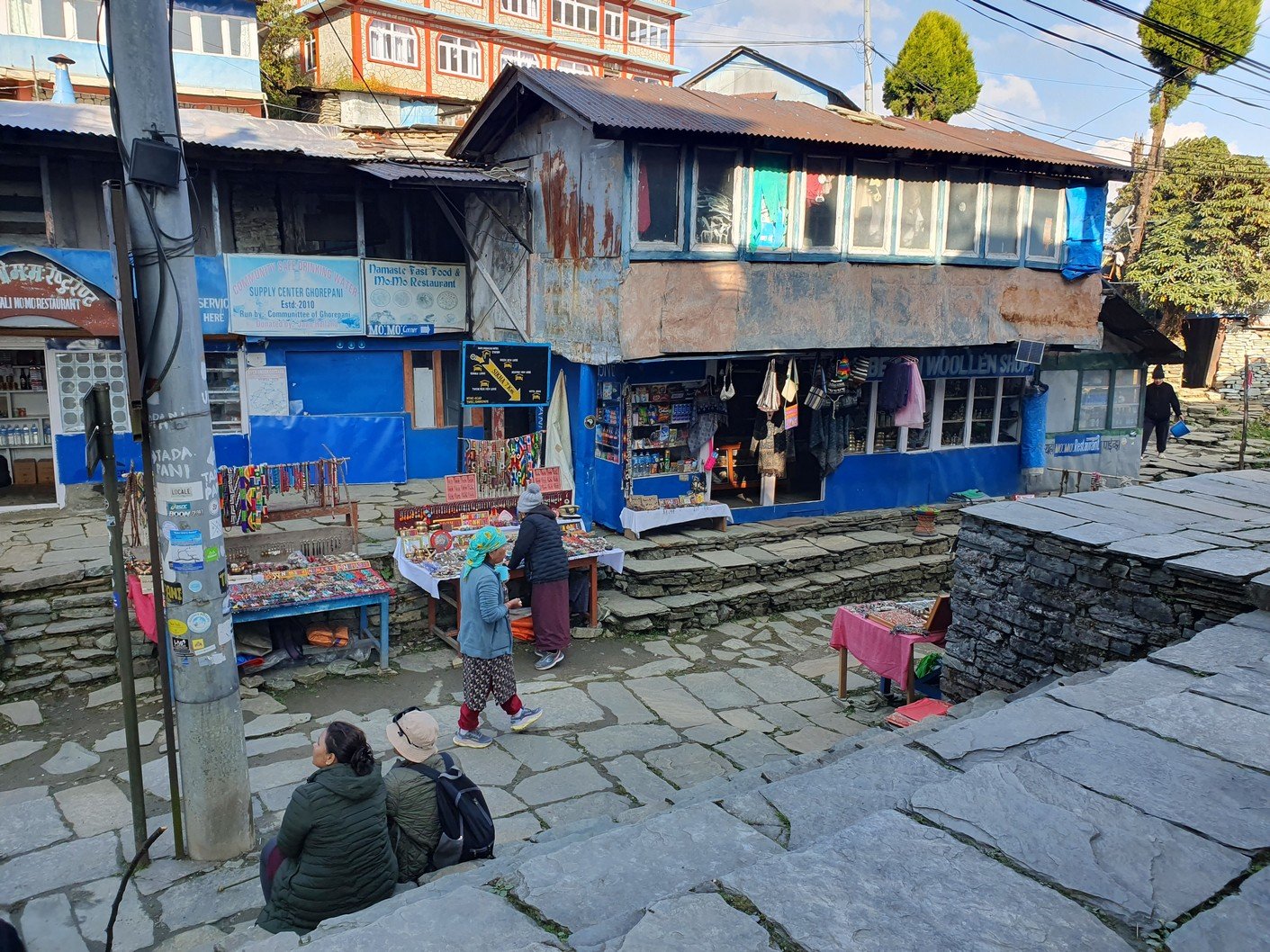
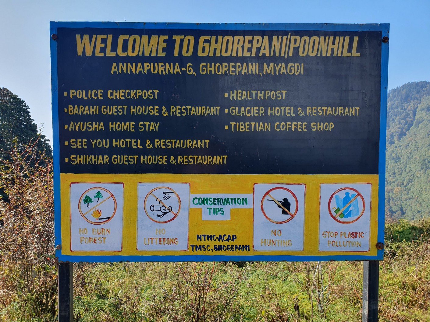
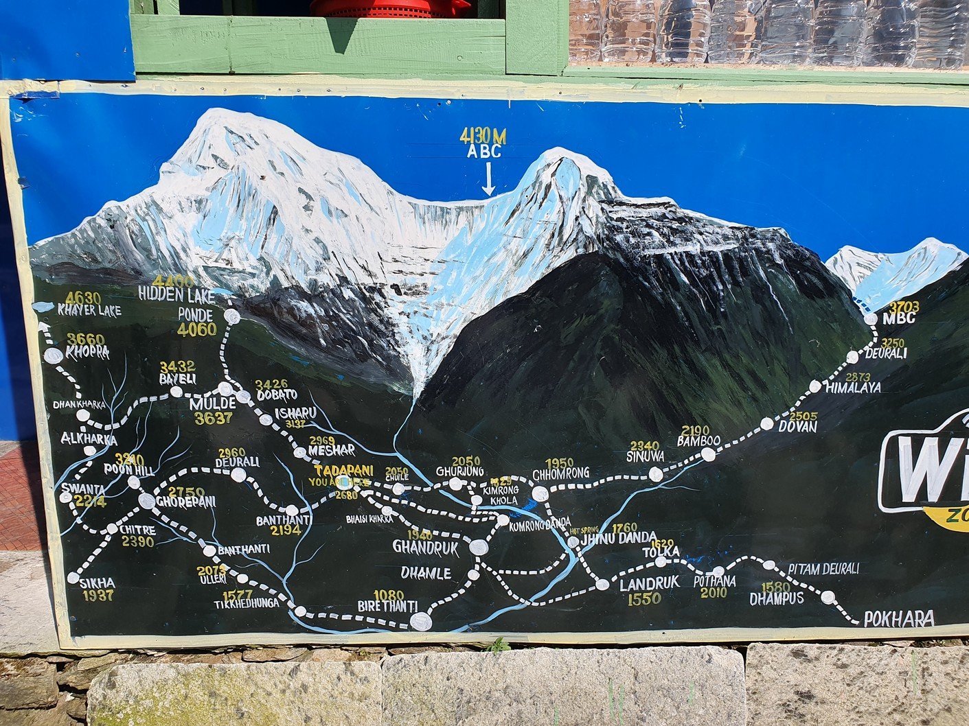
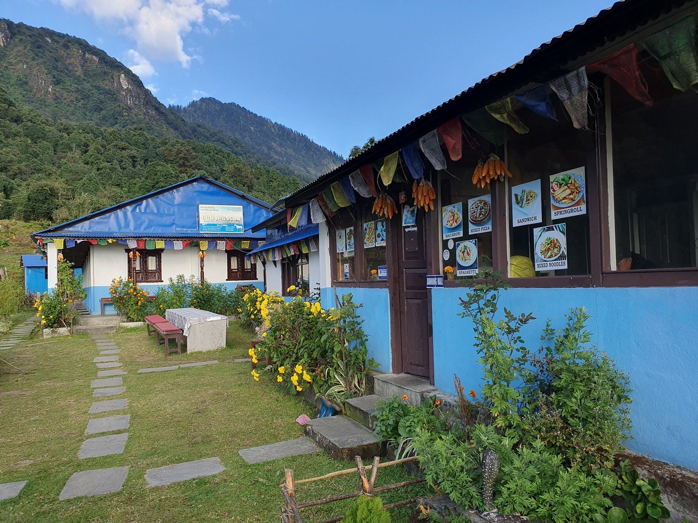
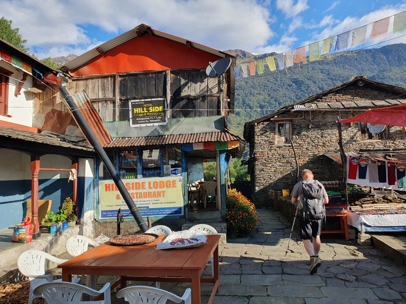
 Trekking Ghorepani – Poon Hill – Chuile
 Start: 04:50, 2860m
 Finish: 14:50, 2050m
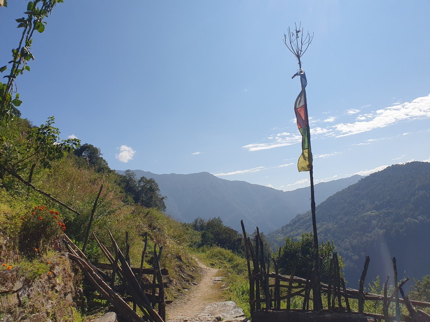
 Weather: Sunny but the route was often shaded, shorts and short-sleeved shirt
 Drink: 2,1 L
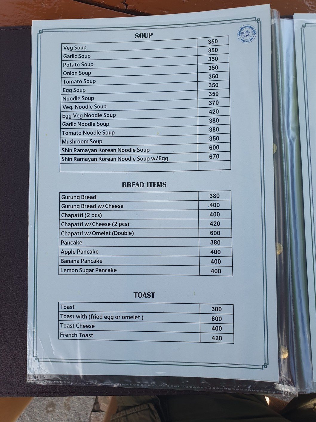
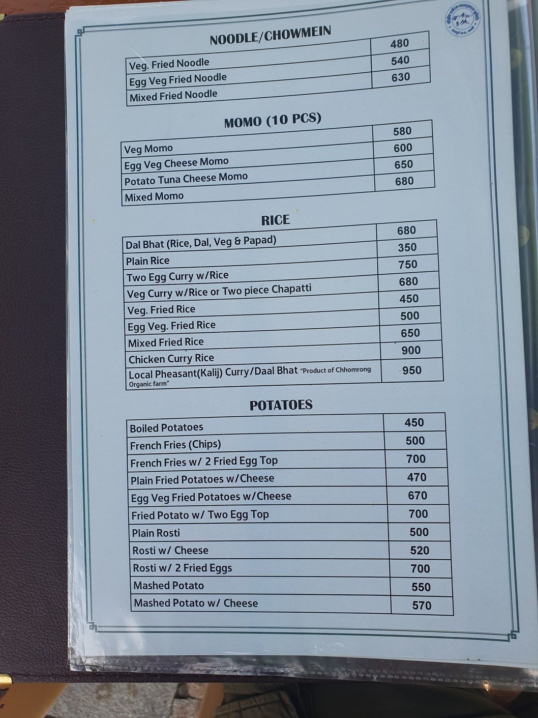
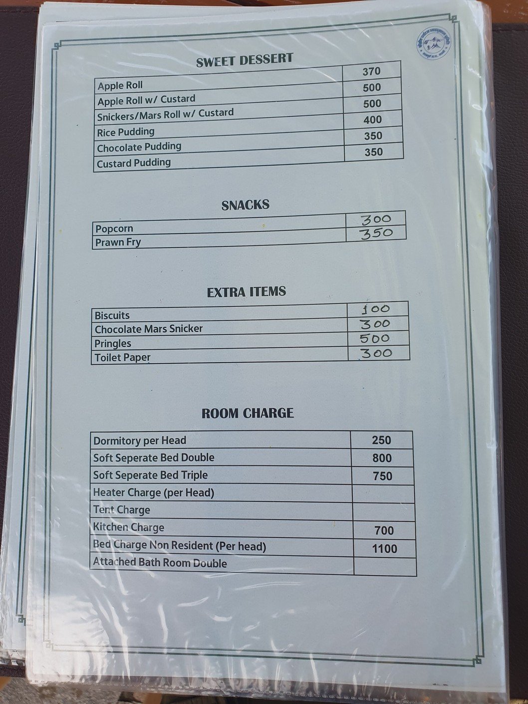
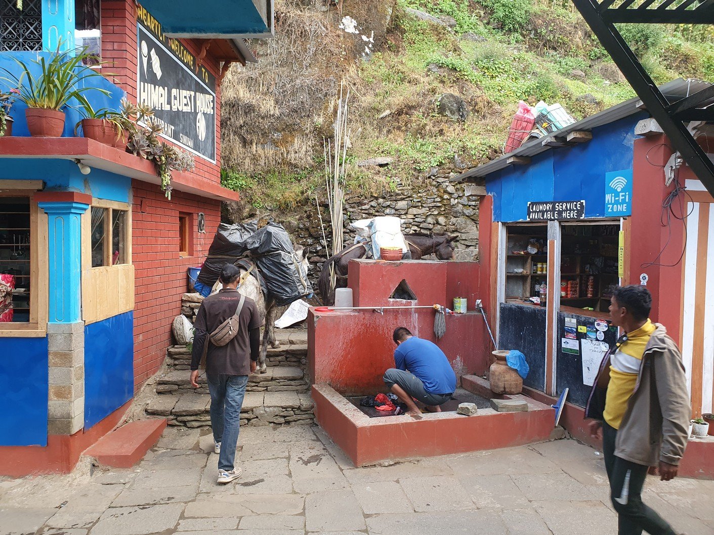
 Expenses: 150 (Poon Hill entrance), 550 (energy drink and 2 x water in the morning), 300 (Oreo cookies at the break), 250 (Coke at lunch)

Poon Hill is a hill near Ghorepani at an altitude of 3200m, famous for its sunrise views. In mathematical terms:
Hill = climbing
Sunrise = early
Be at the top of the hill at sunrise = f*ing early

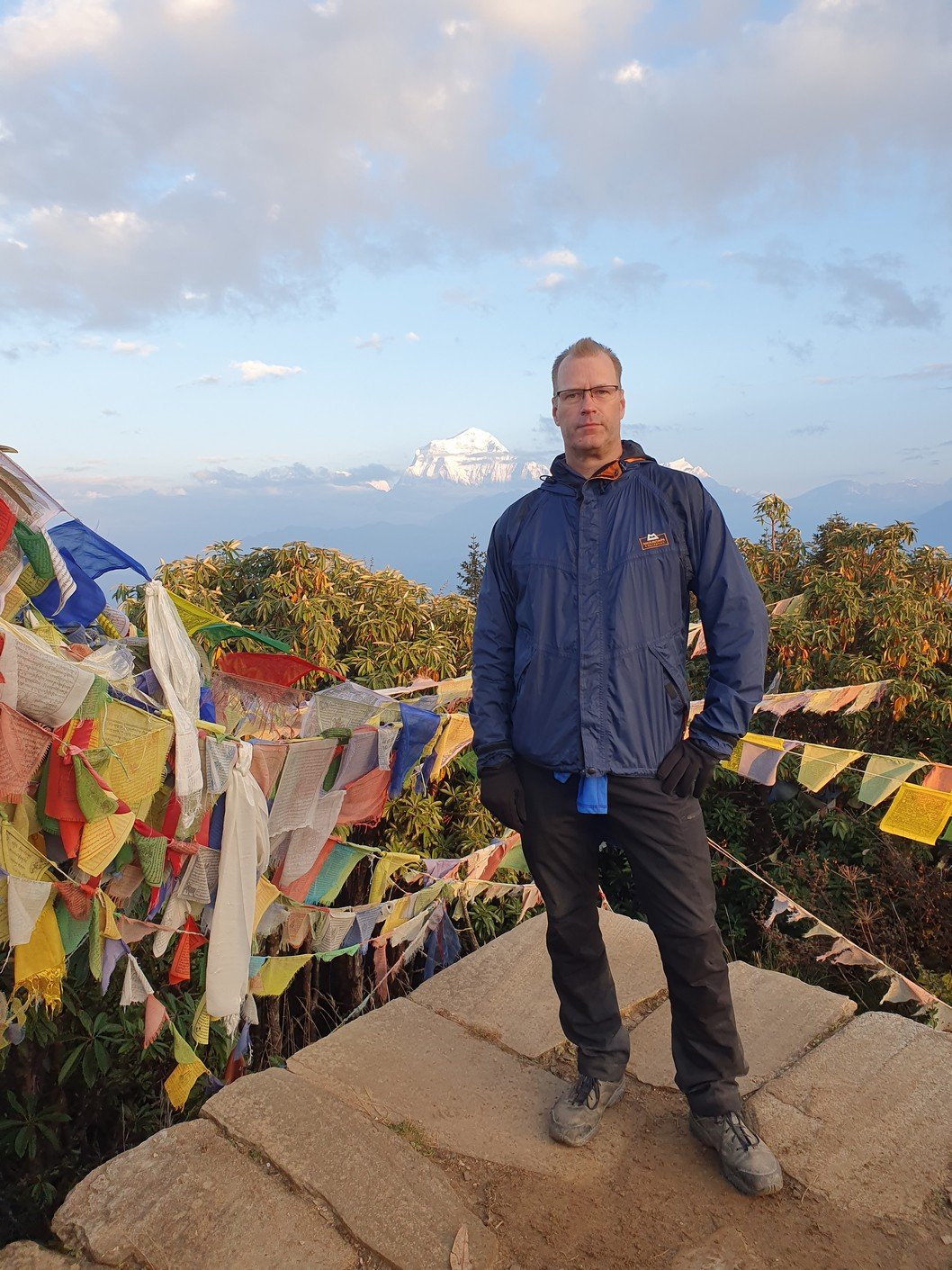
We left at 04:50. More precisely, the whole village set off at the same time. An ascent of about 350 metres meant an hour of non-stop stairs, which sucks at 5am. Shortly after departure, we arrived at the ticket booth, where we had to buy a 150 rupee ticket to the hill. There was a continuous queue of people on the stairs as probably a couple of hundred people were making their way to the top. I am guessing this diaspora is repeated every morning during the season.

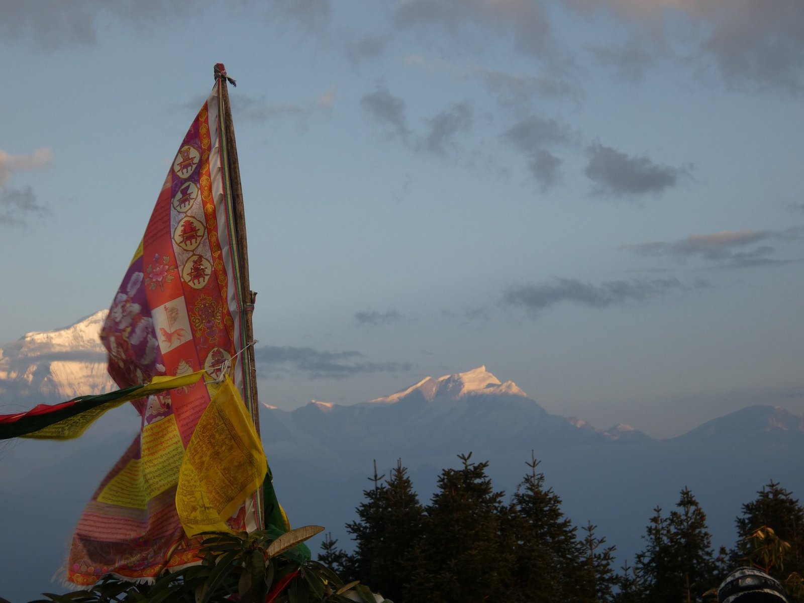
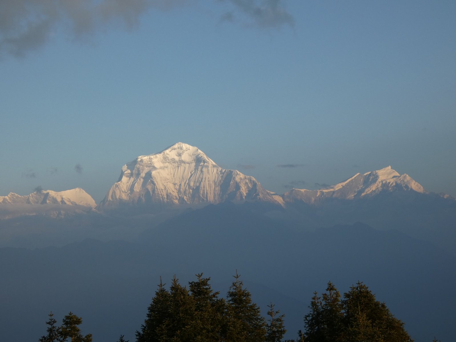
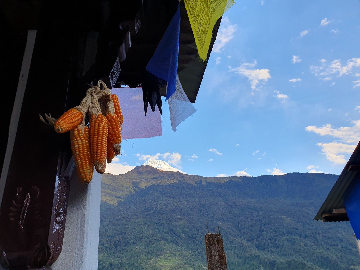
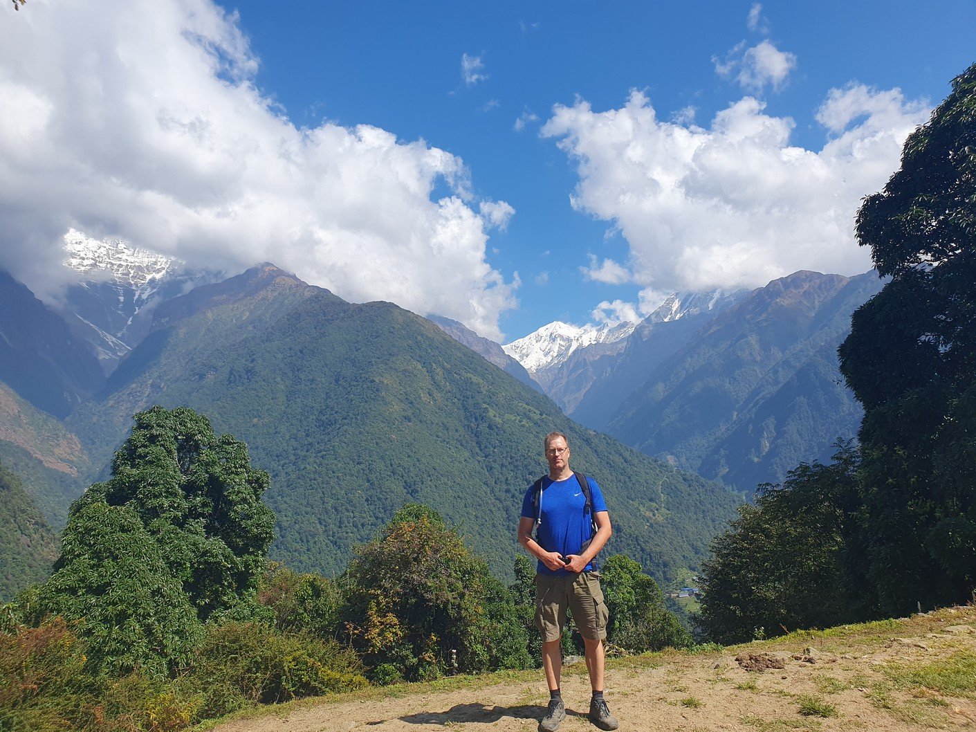
We arrived at 05:50, so we had to wait a while for the sunrise in the cold. Photos could be taken in two different directions. In the east we could see the reddish horizon and in the west the sun was illuminating the peak of Dhaulagiri more and more every minute. At 8167 metres, Dhaulagiri is the seventh highest mountain in the world. The scenery was undeniably spectacular. At maybe a quarter to seven we headed down towards our accommodation and breakfast.

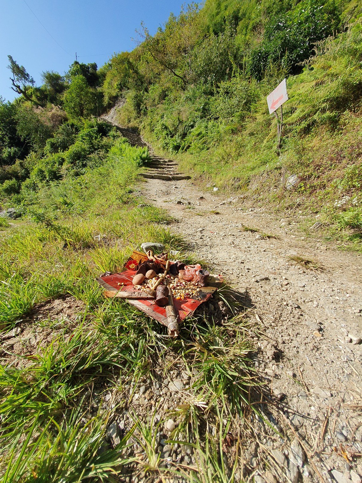
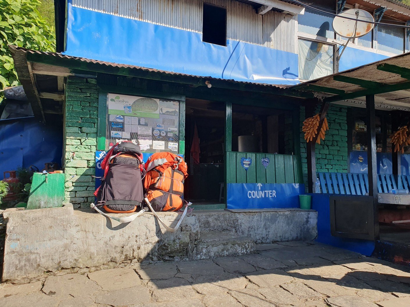
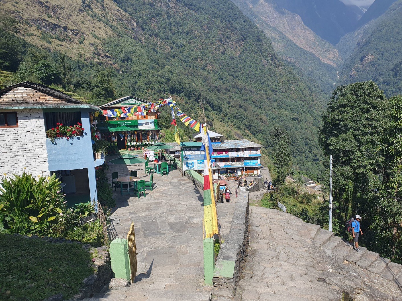
After breakfast, we set off for the day’s main hike. There is nothing really worth saying about the section. 

Poon Hill: 350m up, 350m down.
Some stupid hill after Ghorepani: 350m up, then all down
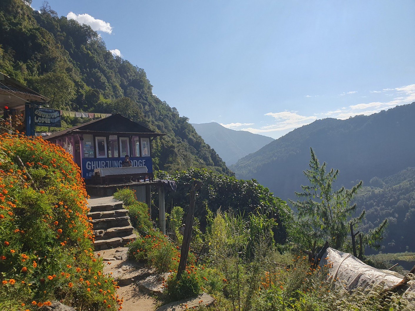
After the stupid hill, several hours up down to the lunch spot: unknown amount up, unknown amount down
After lunch: 200m up to Tarapani
After Tarapani: a descent comparable to the Mariana Depression to Chuile, 800m lower than the starting point at Ghorepani

In total, we got to climb more than 1000m to end up 800m lower than when we started. 

Poon Hill at around 6.30 am
Dhaulagiri, the seventh highest mountain in the world
With Poon Hill done as a morning warm-up and breakfast eaten, it was time to set off for the day's main hike
'No burn forest'. A reasonable request.
The Poon Hill observation tower can be seen in the background. First up there in the morning, then down, and then up this hill.
Route to Annapurna base camp. Note how Ghorepani and ABC (Annapurna Base Camp) are on different sides of the map.
Mystical park of stone piles
Based on the number of porter packs, this was a popular break spot
Our accommodation in Chuile
Views from the valley-side rooms
Corn hanging out to dry is a frequent sight
The fifth iteration of Heikki's shoe repair:: the blue iron wire
Firing up the stove for dinner time
Chicken momos and potatos

Wednesday 23.10.2024

 Trek Chuile – Lower Sinuwa
 Start: 08:00, 2050m
 Finish: 14:30, 2200m
 Weather: Sunny, shorts and short-sleeved shirt, constant sweating
 Drink: 2,5 L
 Expenses: 300 (2 x water in the morning), 500 (energy drink and Oreo biscuits during a break), 250 (small coke at lunch), 300 (small coke at the lodge), 200 (wifi at the lodge), 150 (toilet roll from the mini shop)

Unfortunately, the itinerary for the day was quite similar to the previous day. From Chuile we started with a long downhill followed, surprisingly, by a correspondingly crazy uphill. It took us over three hours to reach our lunch spot at Chomrong. A road ended in the valley below Chomrong and we would use the ‘jeep stop’ there to eventually take a jeep to Pokhara. From here the route would continue up one of the valleys towards the Annapurna base camp. Amrit asked us to see if there was anything we didn’t need in our gear bags so that we could leave them at the guest house for storage. Amrit assured us that thick blankets would be available at the guest houses we would be using the following days, so we all left our sleeping bags, which alone weighed quite a few kilos. I also left the sturdier hiking boots, which also weighed almost two kilos, and a big bag of dirty laundry. Amrit also asked us if we could leave out the emergency oxygen bottle. Since we had already been well above the altitude we were going to, we didn’t think it was necessary to carry the oxygen bottle any more. There was also no need for the crampons that were in the tour operator’s equipment bag. All in all, we left at least twenty kilos of stuff in storage, which made the job of the porters much easier.

Our destination, Lower Sinuwa, was visible from the lunch spot. Naturally, there was a gorge, a stream and a suspension bridge in between. After lunch, the programme included an endless downhill and an uphill to get to about the same altitude and perhaps two kilometers further as the bird flies.

When hiking or climbing, do not pack anything remotely breakable in the equipment bag given for transport (porter/yak/donkey).
These modest Sunday walks were not enough for Heikki, so he decided to do a bunch of pushups before departure.
Sacred path section
Rest stop with a magic counter
A tree trunk at the edge of a gorge is a clear invite to climb it.
Chomrong
The menu is basically varied and the food is good. The menu itself is almost the same everywhere. At lower altitudes for example chicken is available, which is missing at higher altitudes.
Among other things, emergency oxygen was left in storage in Chomrong
Lower Sinuwa
Our accommodation in Lower Sinuwa
A couple of chin-ups to finish the day
The ponies delivering goods knew the route by heart
Shopping trip
The real truth: we're just eating pizza and watching television

Leave a Reply

Your email address will not be published. Required fields are marked *